TrailPaint — Hand-Drawn Style Trail Map Maker
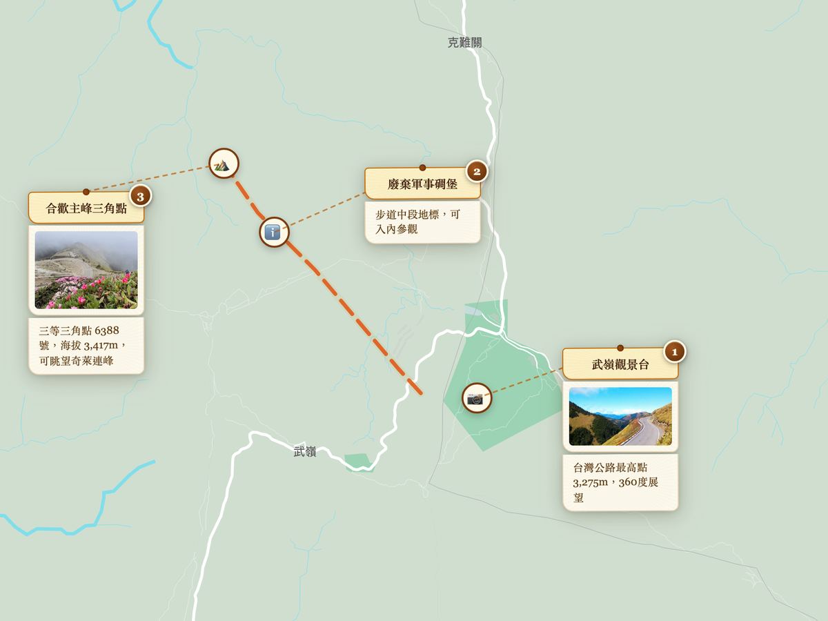
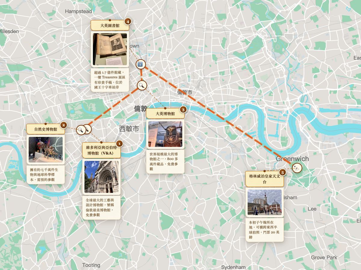
TrailPaint is a free, open-source (GPL-3.0) browser tool for creating hand-drawn style trail maps. Build routes from photos, maps, or AI prompts, then export as PNG illustration, complete project backup, or GeoJSON/KML interop formats for Google My Maps, Google Earth, and Gaia GPS. Zero backend (except for optional Cloudflare-backed share links), no account needed, all data stored locally in your browser. PWA-installable, works on phones, tablets, and desktops.
Three Ways to Build a Trail
- From Photos: Drag up to 20 photos in, and EXIF GPS auto-creates spots. Supports iPhone HEIC and Android JPEG. Photos without GPS are grouped as "pending location"; drag them to place. Photon (primary) / Nominatim (fallback) reverse geocoding auto-fills place names.
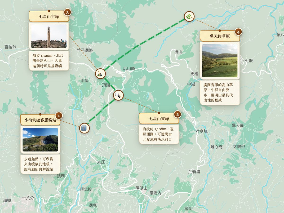
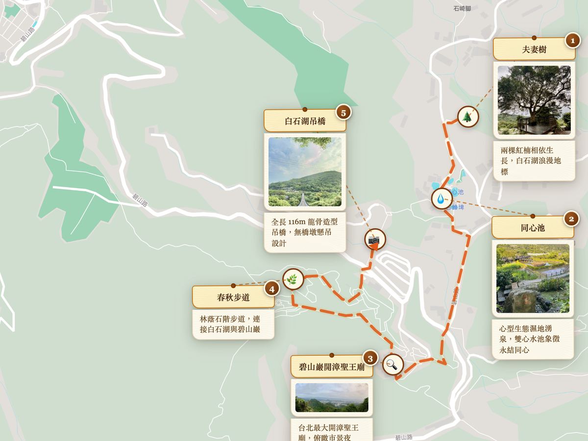
- Manually on the Map: Search locations, draw routes, place spot cards with 31 icons. Importable KML, GeoJSON, GPX. 10 sample trails for one-click demo.
- Generated by AI: Copy the built-in prompt template to ChatGPT or Claude, describe your trip, and the AI generates an importable JSON file.
One Map, Many Outputs
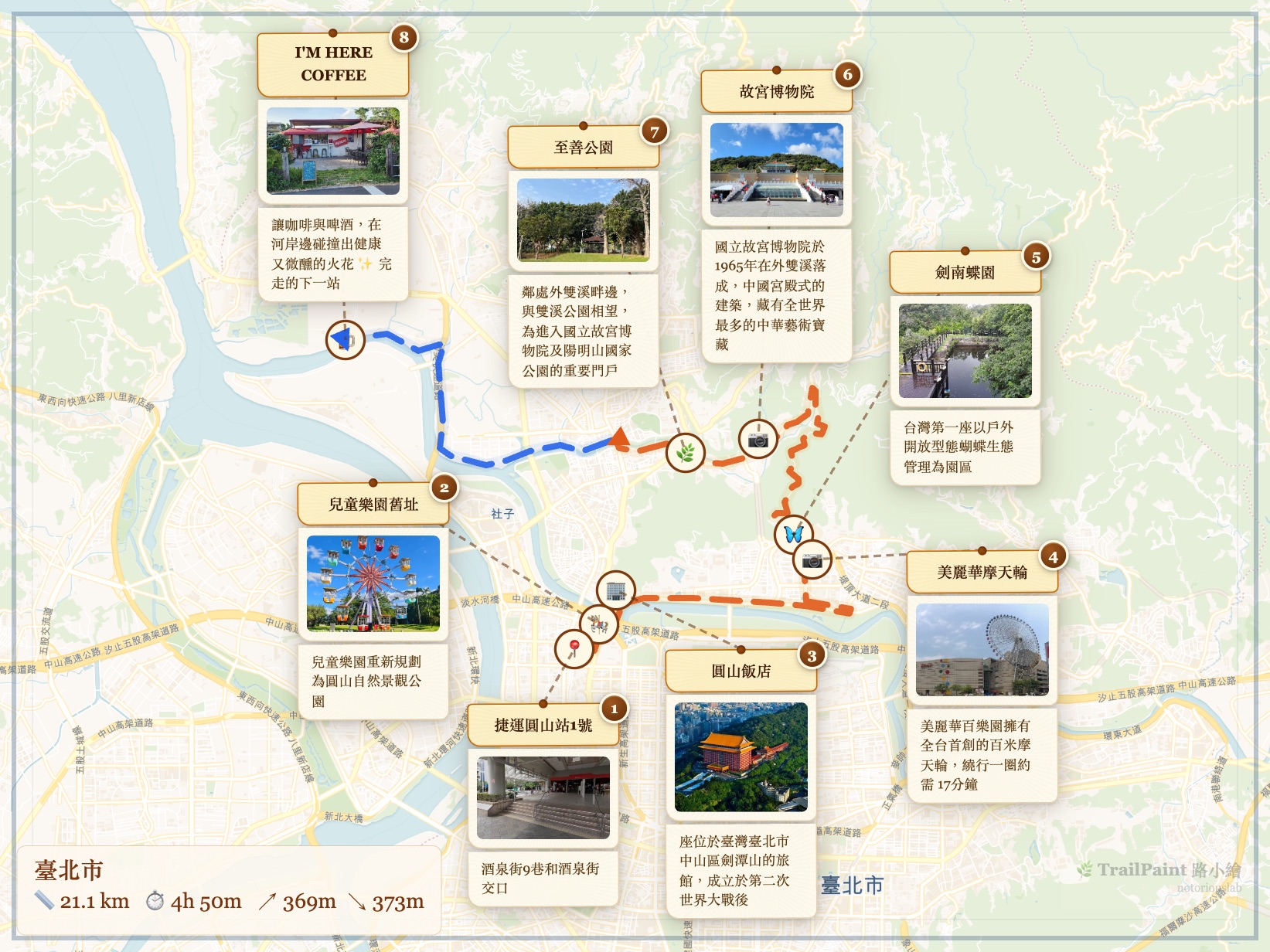
- Image: PNG at multiple ratios (1:1 for Instagram, 9:16 for Stories, 4:3, original) with 3 border styles and 2 style filters.
- Backup: .trailpaint project file preserves all spots, routes, and photos.
- Interop: GeoJSON and KML pure geographic structure for Google My Maps, Google Earth, Mapbox, Gaia GPS.
- Share: Cloudflare Workers + KV short URLs with Open Graph previews (first photo as cover). TTL 90 days.
Story Player
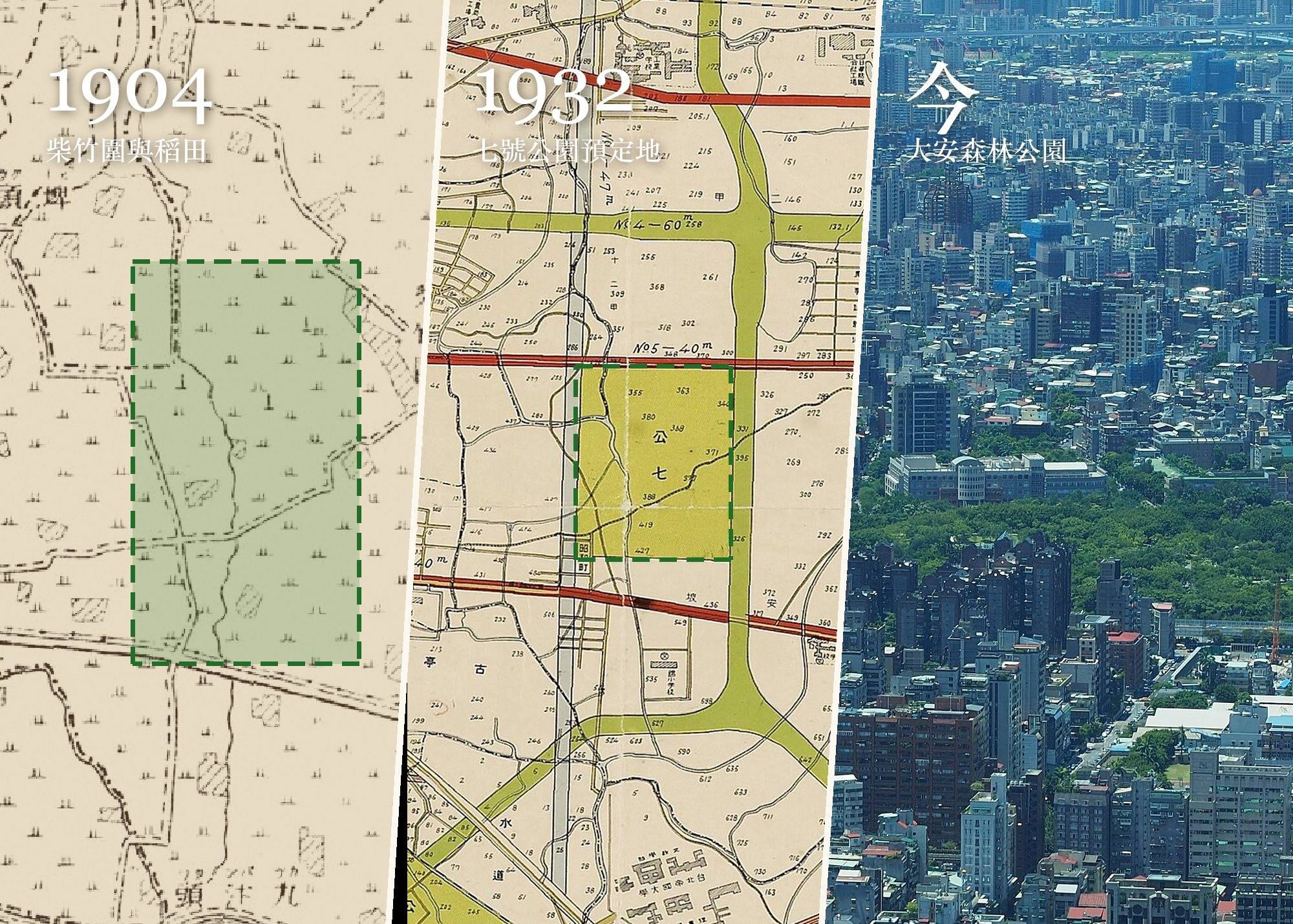
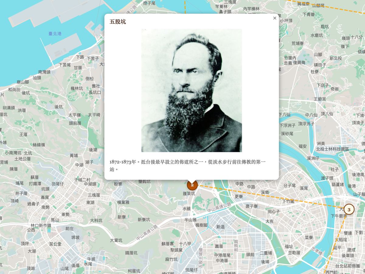
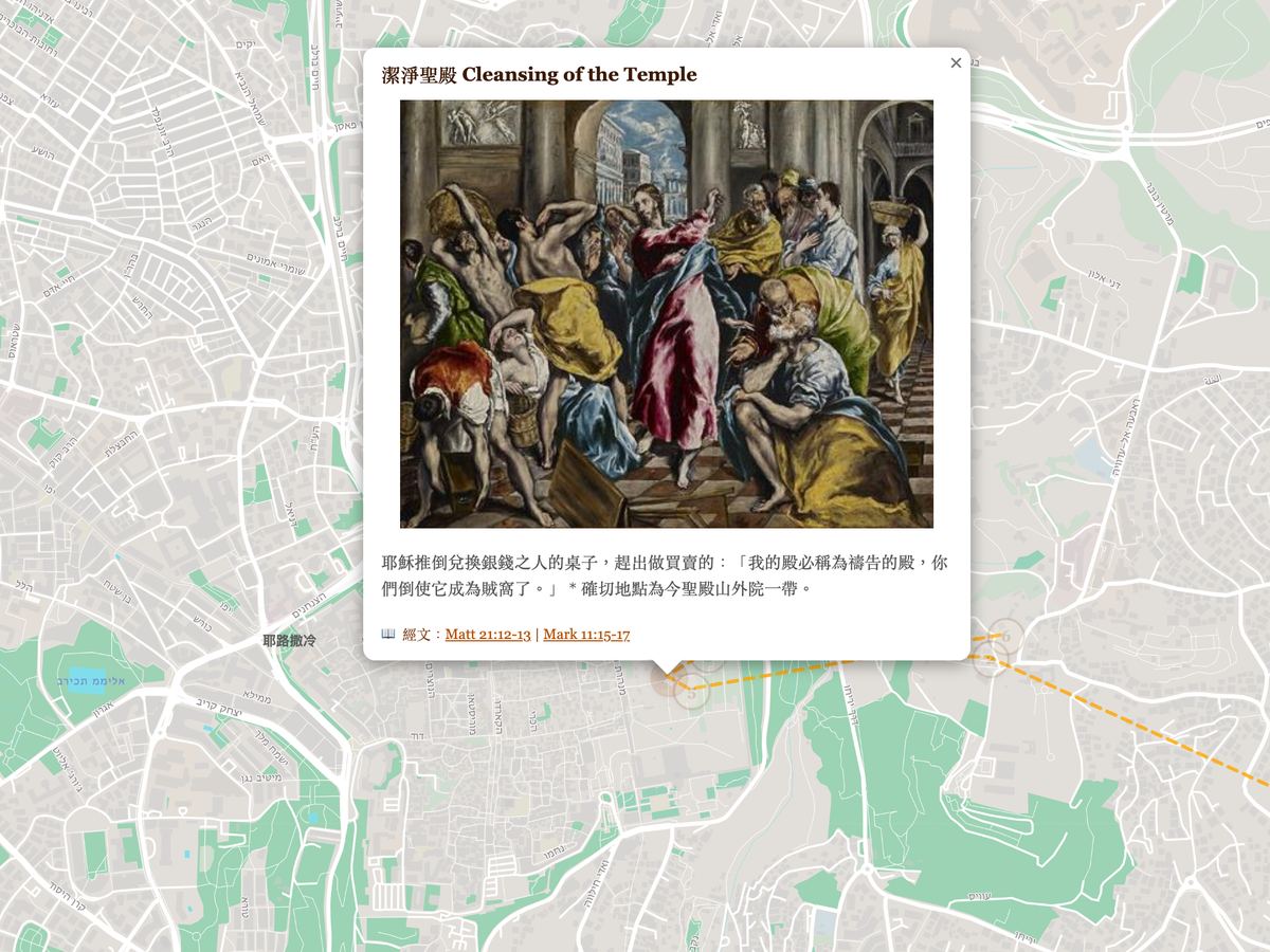
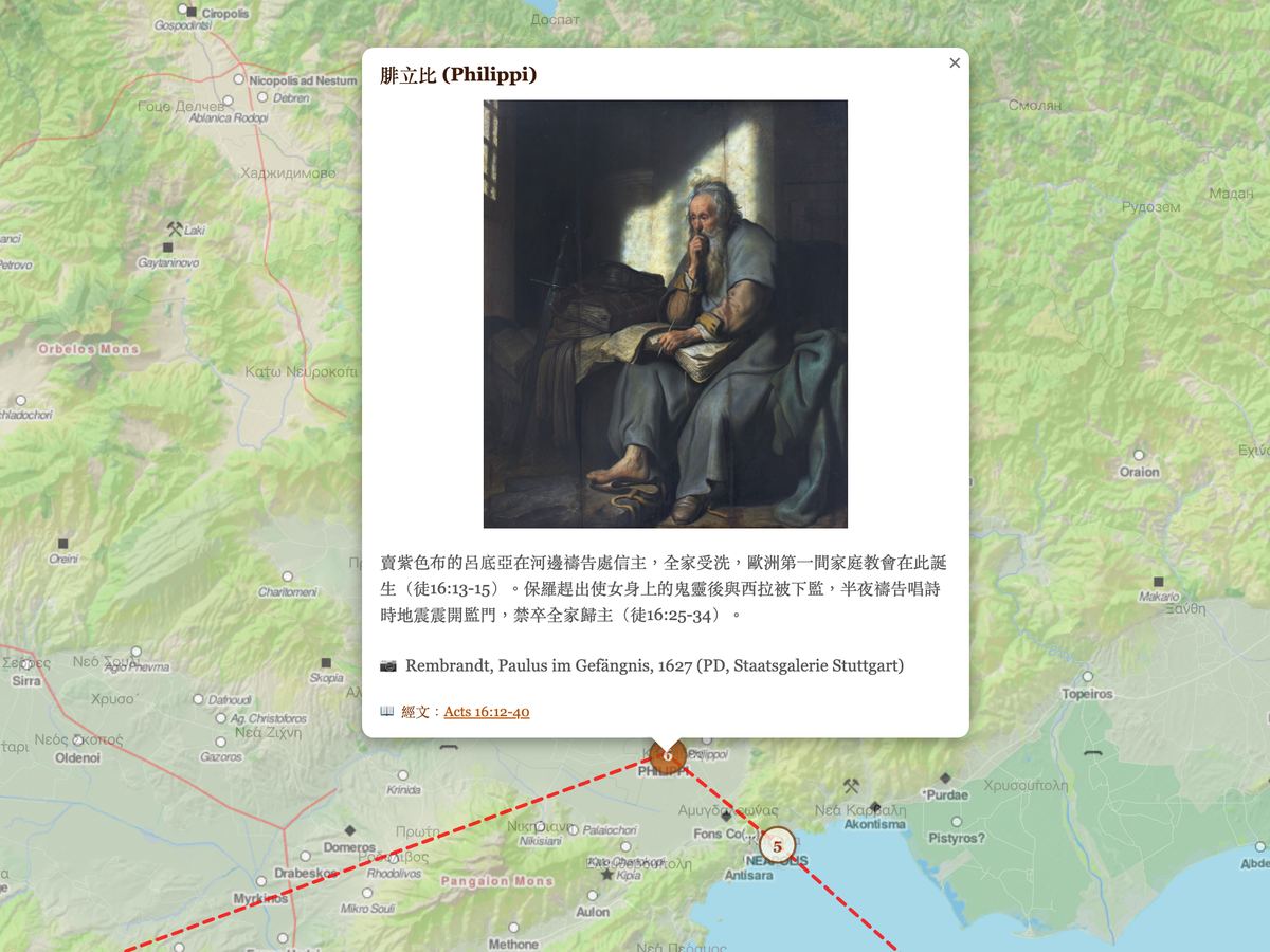
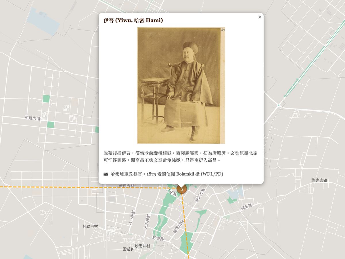
A standalone entry at /app/player/ for auto-guided playback: fly-to animations, photo popups, background music, 5 basemaps plus Academia Sinica 1897/1921/1966 historical overlays for Taiwan. Fullscreen mode for exhibits, classroom projection, and event displays. One-click embed code for blogs, church websites, Notion.
Try it now at trailpaint.org/app/. Explore curated stories at trailpaint.org/stories/. FAQ at trailpaint.org/faq/. Source on GitHub.
TrailPaint — 手描き風ルートマップ作成ツール
TrailPaint は無料・オープンソース(GPL-3.0)のブラウザツールで、手描き風のルートマップを作成します。写真・地図・AI の 3 つの方法でルートを構築し、PNG イラスト・プロジェクトバックアップ・GeoJSON/KML 互換形式(Google My Maps / Google Earth / Gaia GPS 用)として一括エクスポートできます。バックエンド不要(共有リンクのみ Cloudflare)、アカウント登録不要、すべてのデータはブラウザ内に保存されます。PWA 対応。
ルート作成の 3 つの方法
- 写真から:最大 20 枚の写真をドラッグすると、EXIF GPS から自動的にスポットを作成。iPhone HEIC と Android JPEG に対応。Photon / Nominatim の逆ジオコーディングで地名を自動補完。
- 地図上で手動:地点検索、ルート描画、31 種のアイコンでスポットカードを配置。KML / GeoJSON / GPX インポート対応。10 のサンプルルート付き。
- AI で生成:組み込みプロンプトテンプレートを ChatGPT や Claude にコピー、旅程を説明するとインポート可能な JSON を生成。
Story Player
独立エントリ /app/player/ で自動ガイド再生:fly-to アニメーション、写真ポップアップ、BGM、5 種の背景地図に加え、中央研究院 1897/1921/1966 台湾歴史地図オーバーレイ。フルスクリーンモードで展示・授業投影・イベントディスプレイに最適。
今すぐ試す:trailpaint.org/app/。FAQ:trailpaint.org/faq/。ソースコード:GitHub。